


Cool Pines, Clear Skies — Escape to the Kaibab High Country
Amazing property with great views!

Buying Process
When purchasing land from us, you have several choices; pay in full for immediate title transfer and ownership, or pay over time (seller financing) receiving title after all payments are made… [Learn More….]
12 Months Same as Cash!
Do you need financing help, but want avoid to paying the additional cost? We offer a 12 months Same as Cash finance plan for… [Learn More]
Property Video
Description
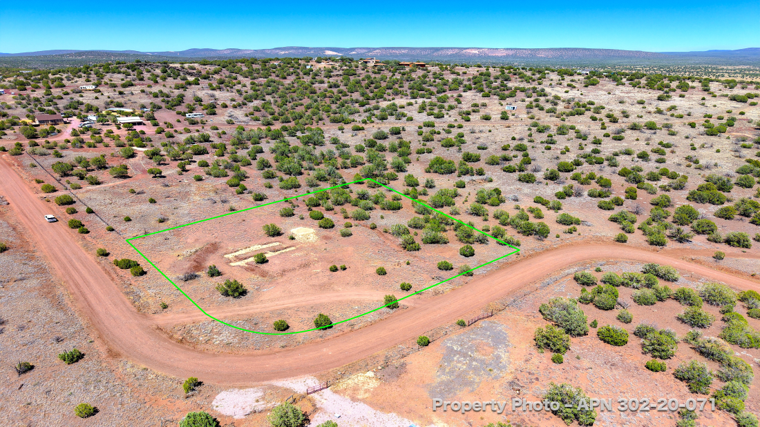
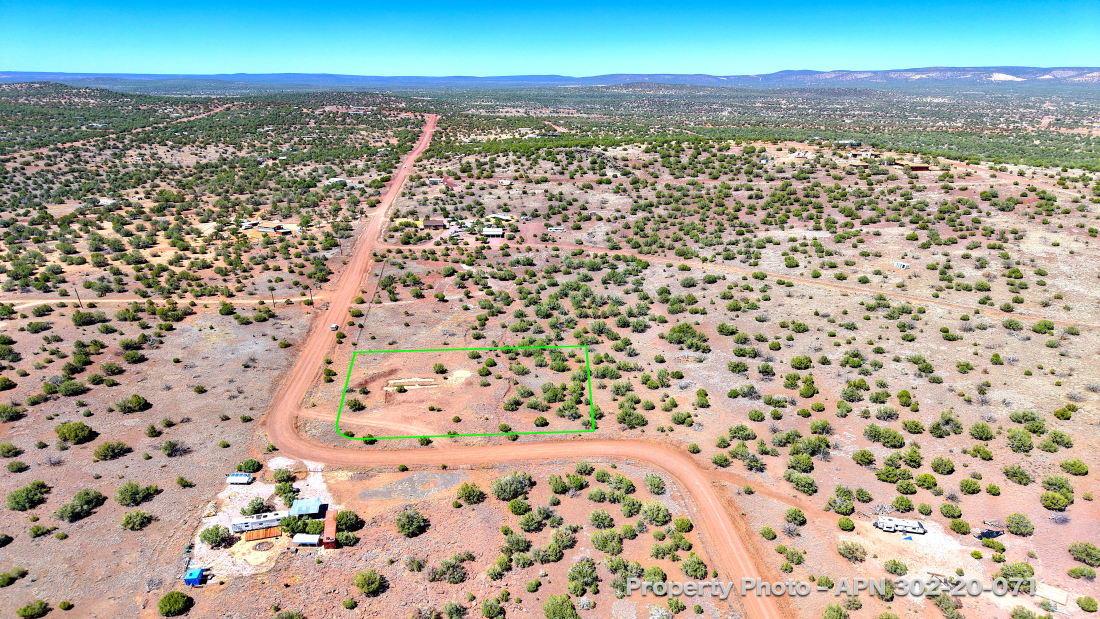
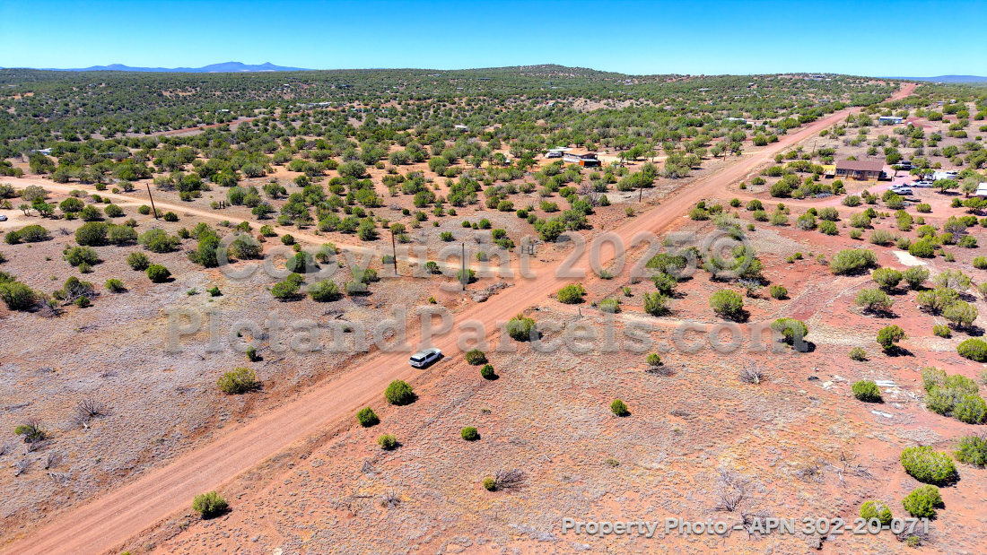
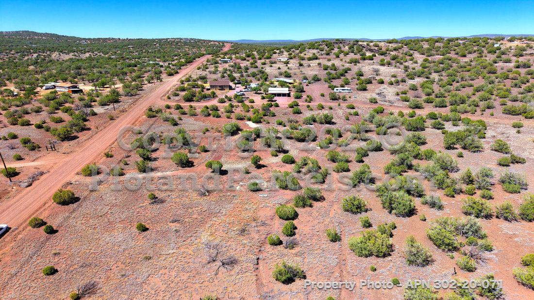
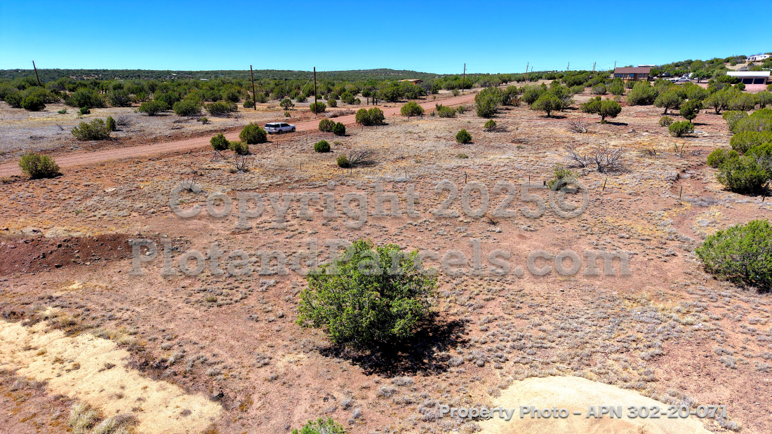
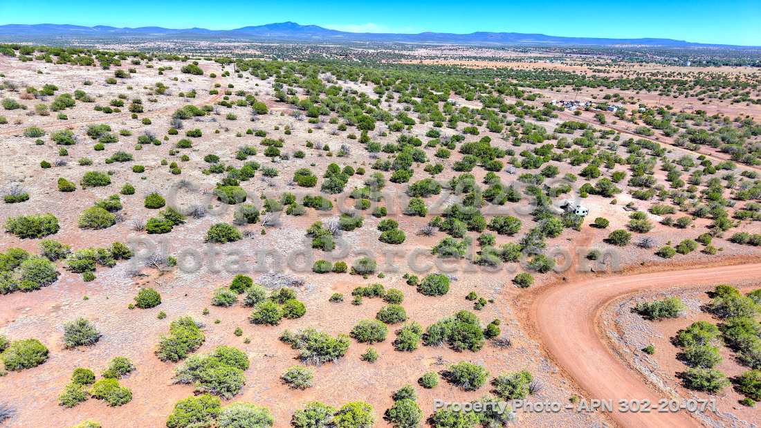
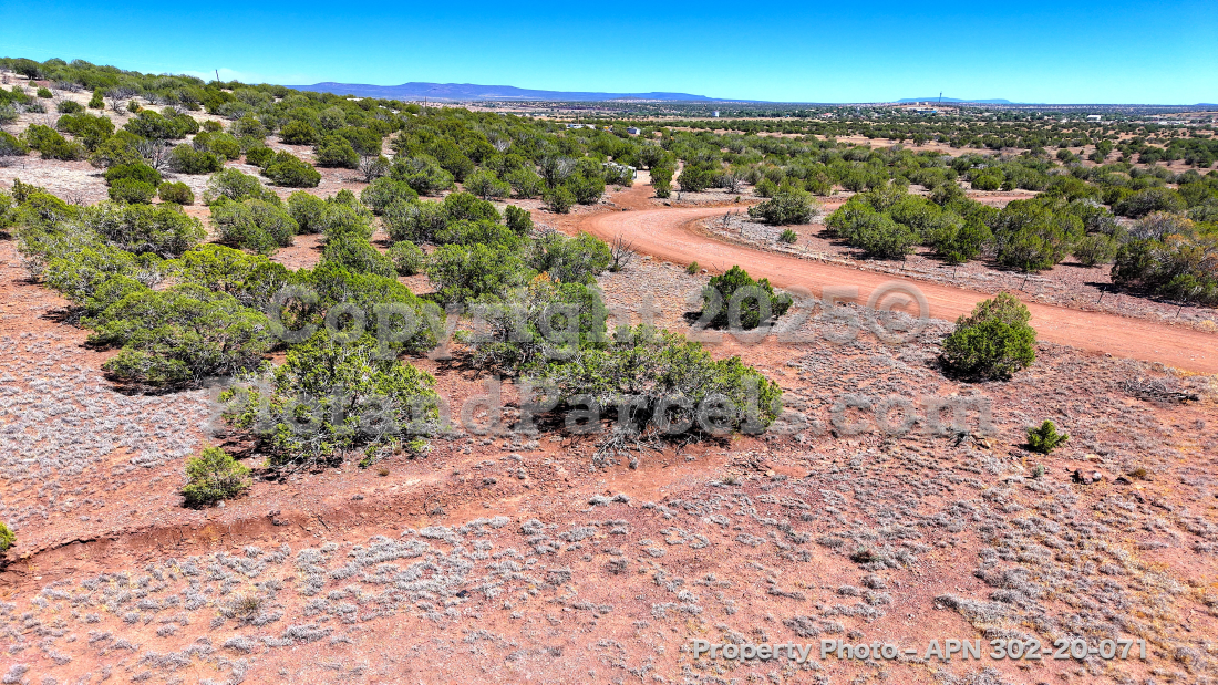
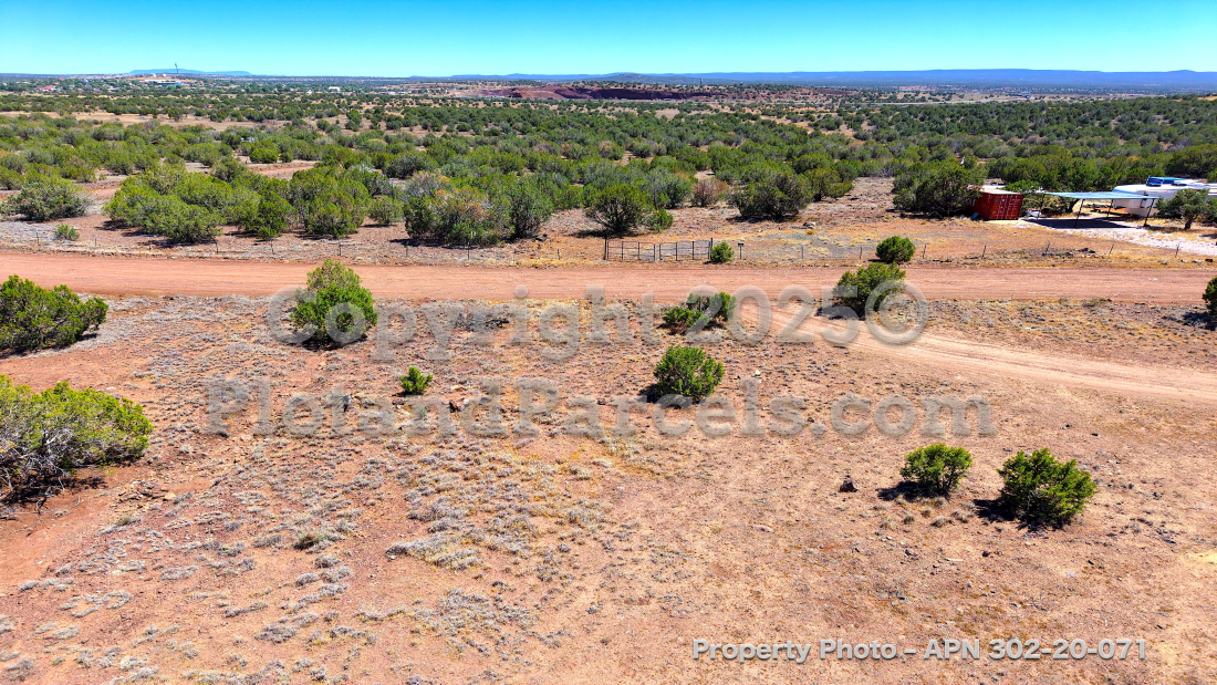
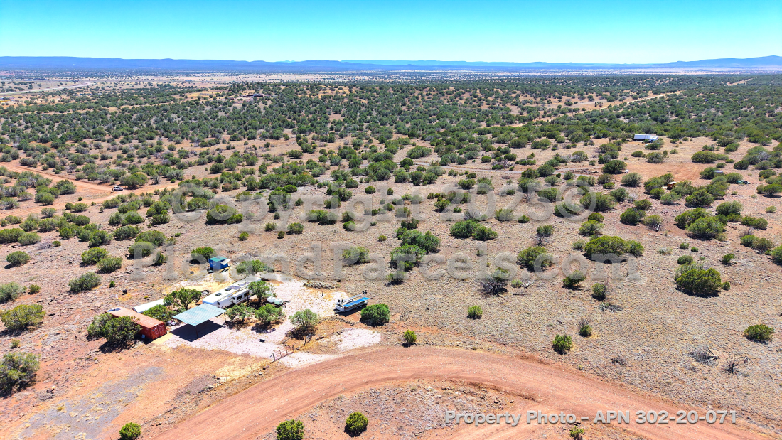
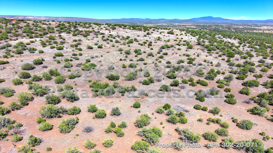
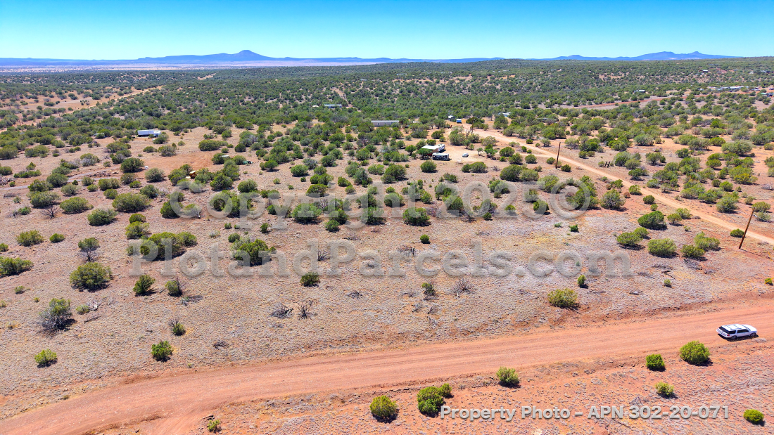
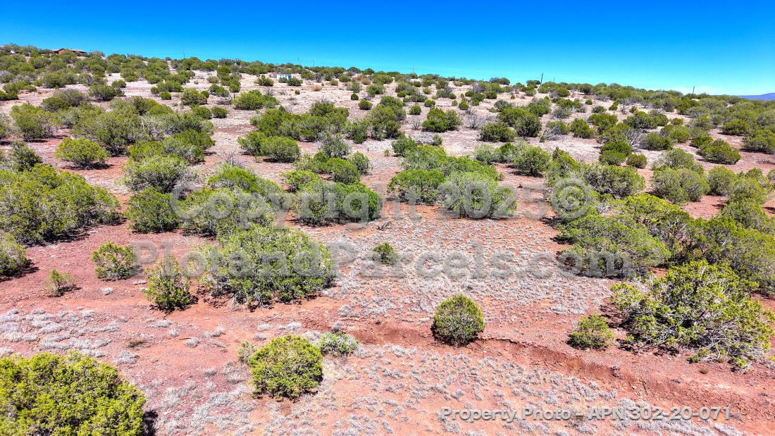
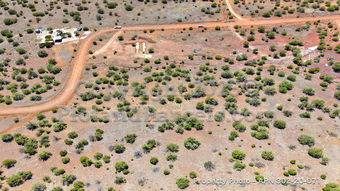
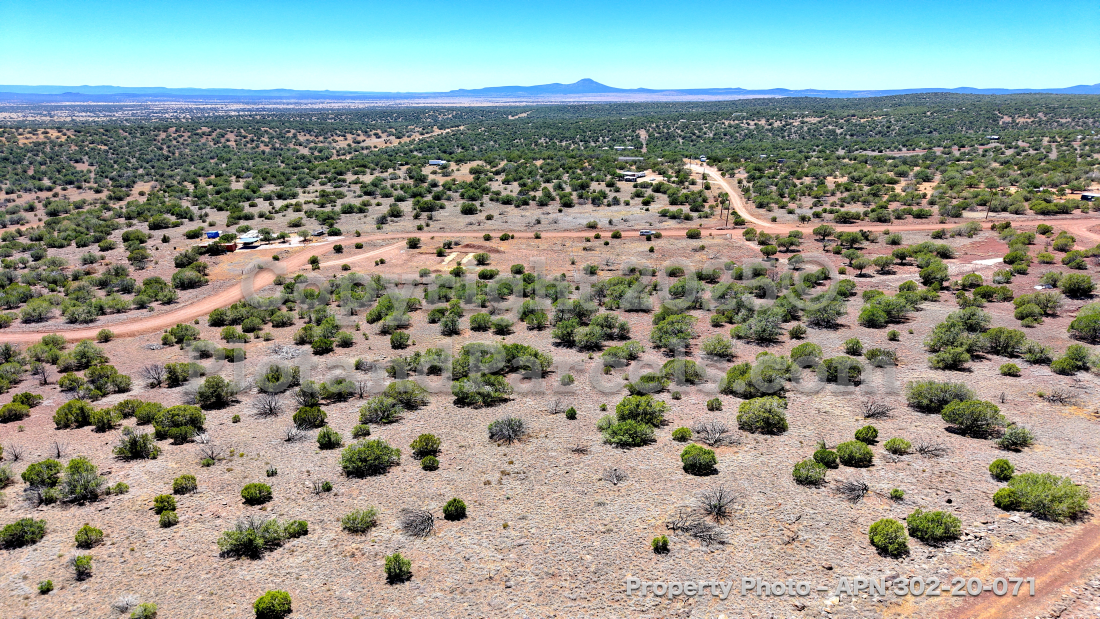
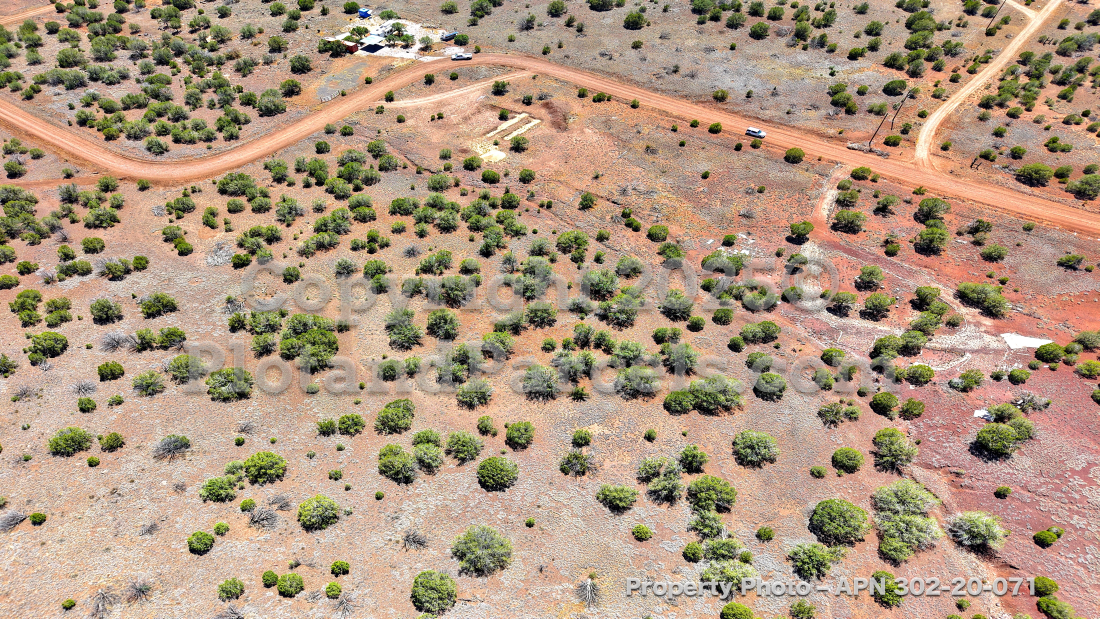
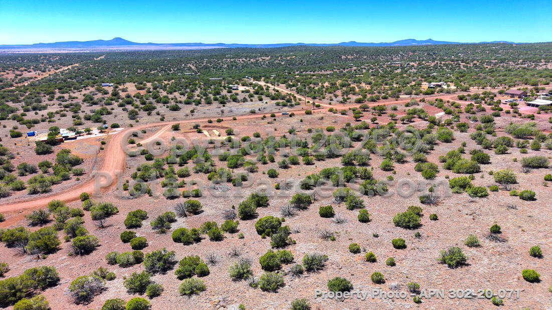
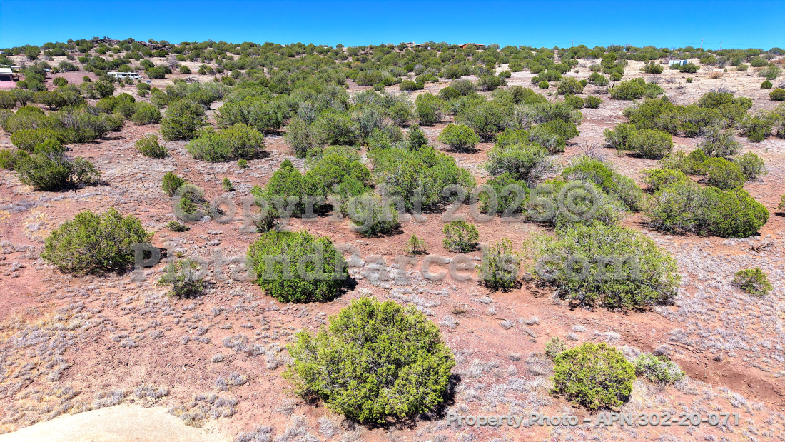
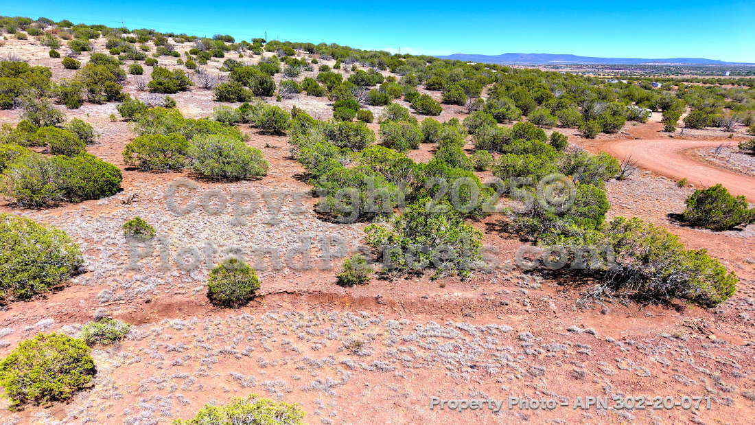
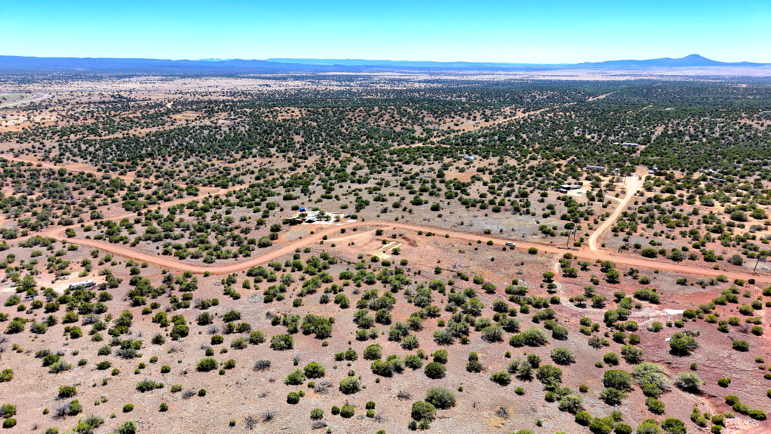
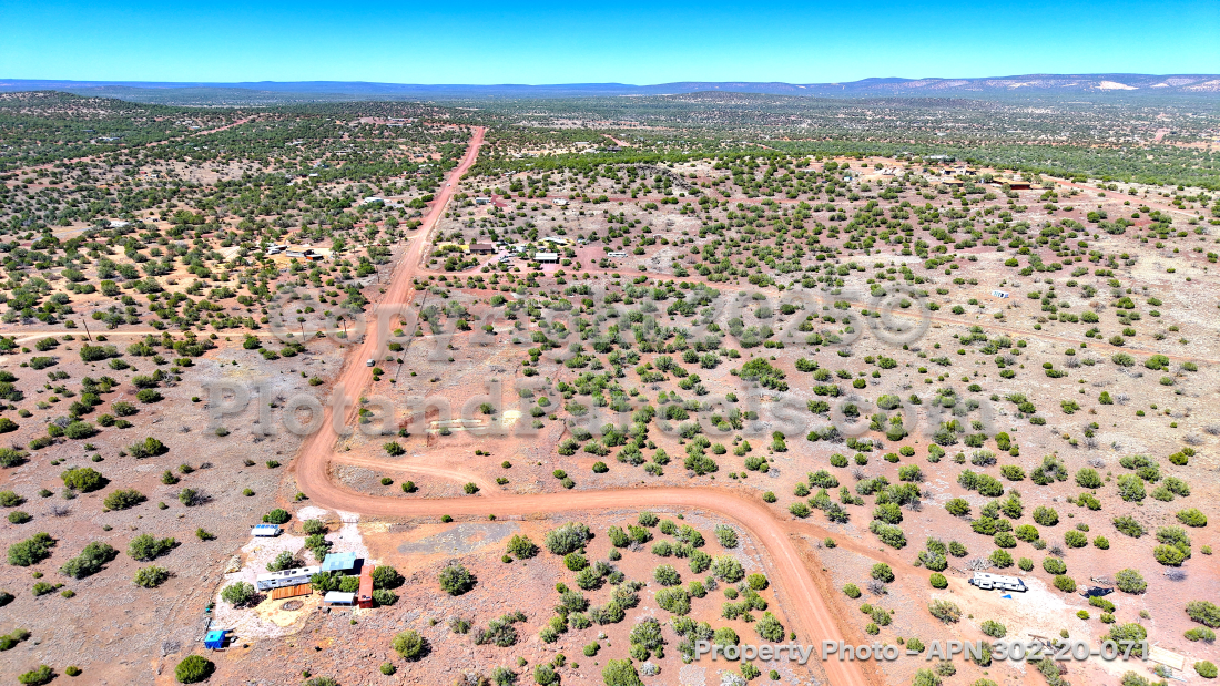
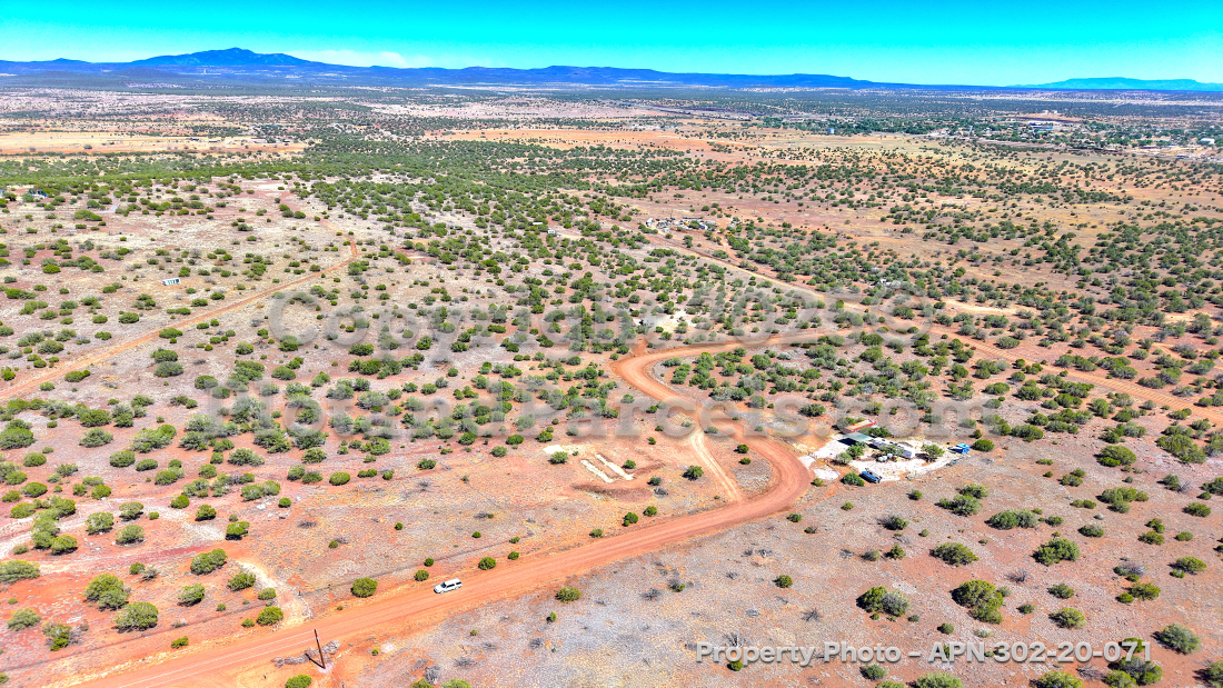
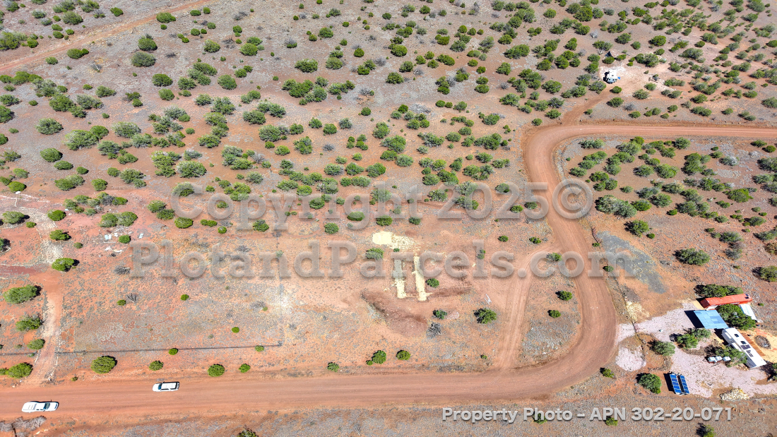
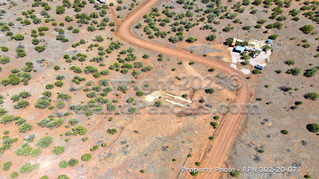
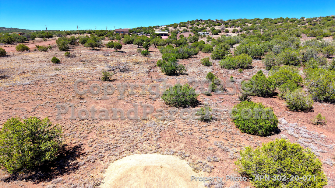
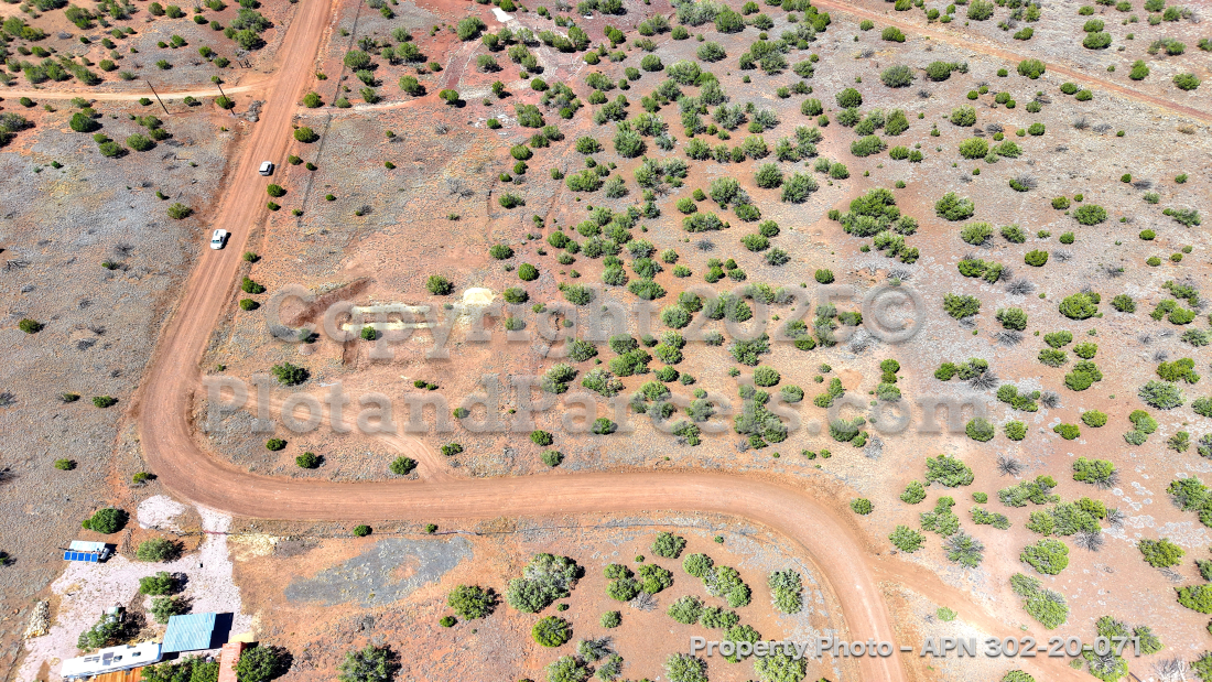
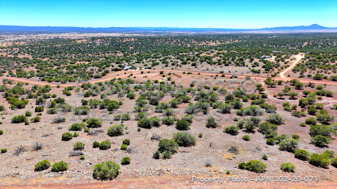
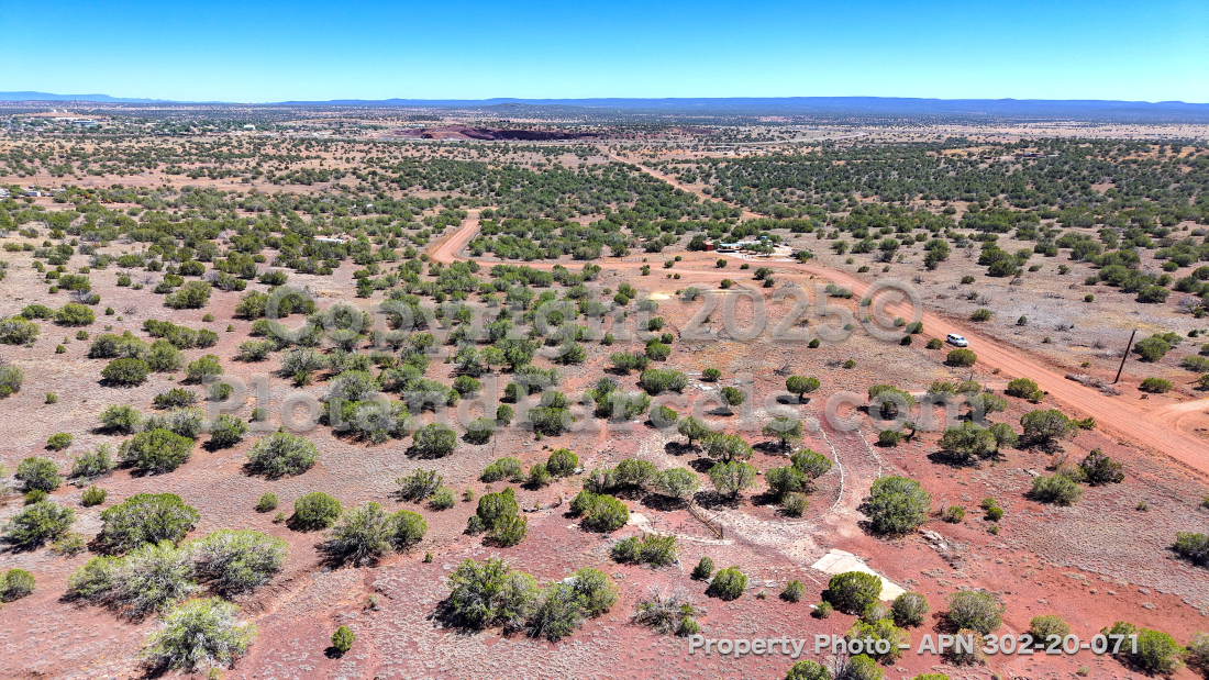
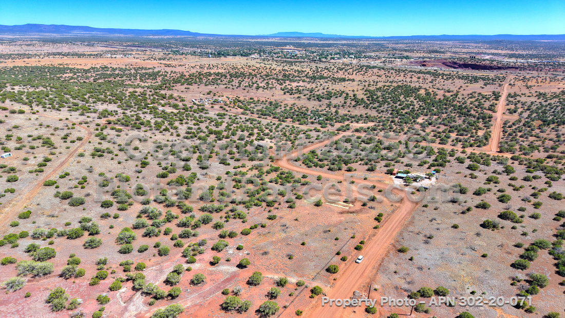
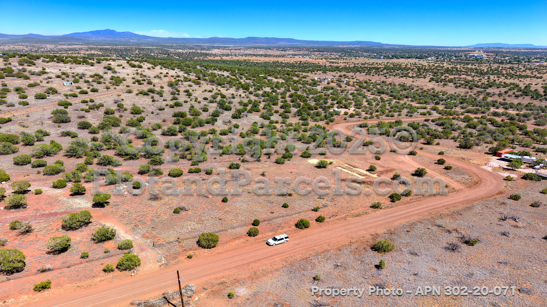
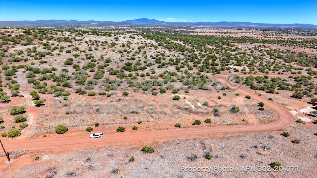
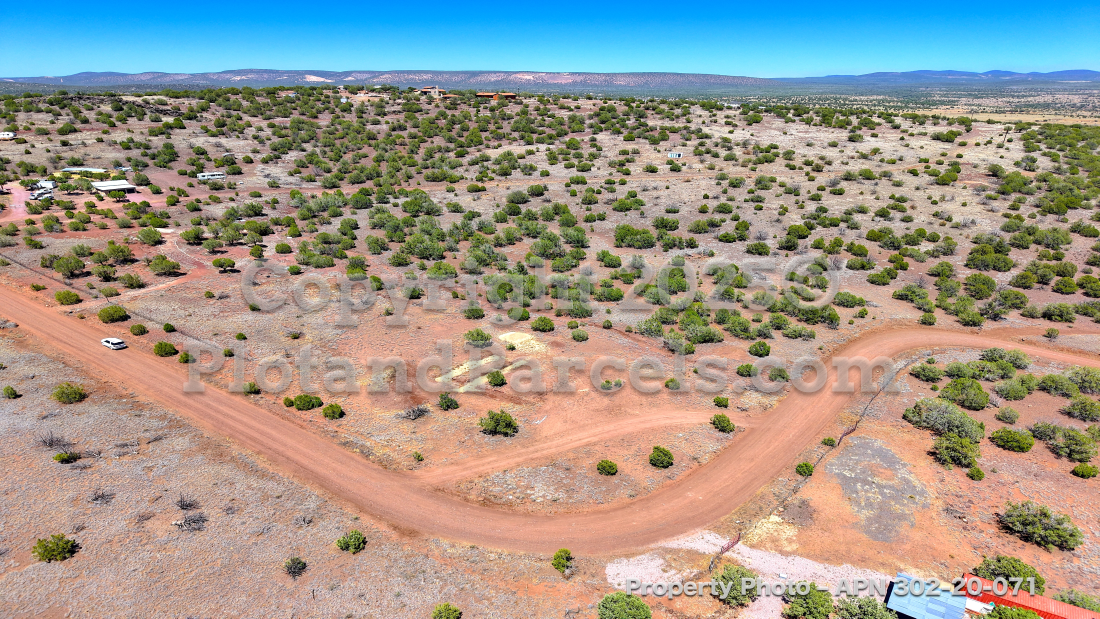
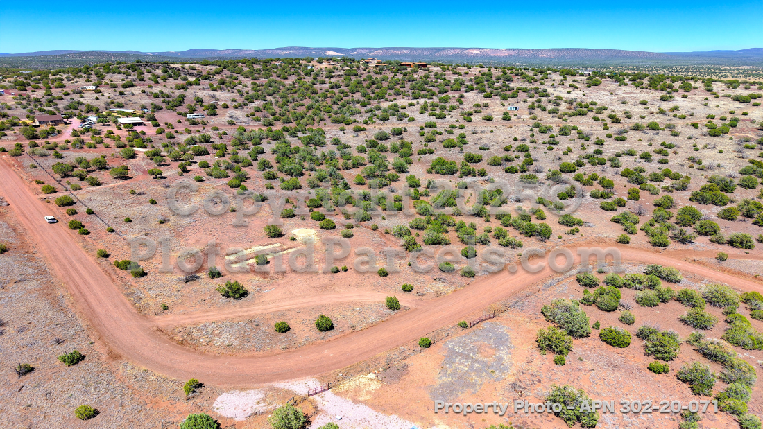
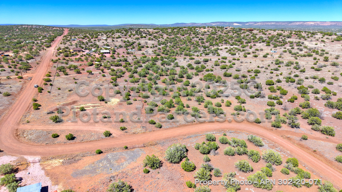
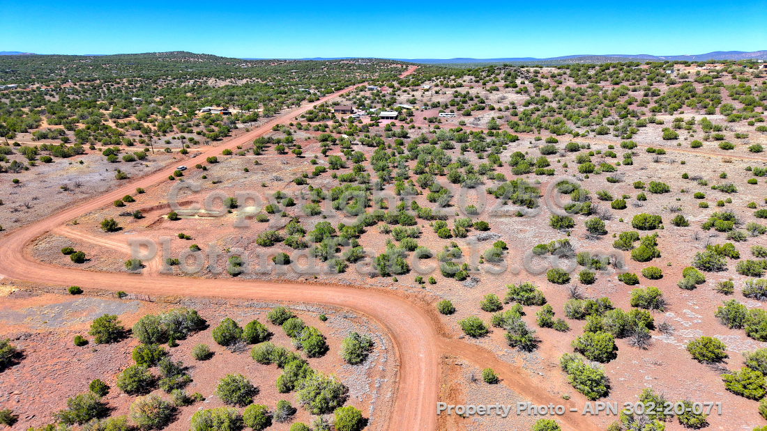
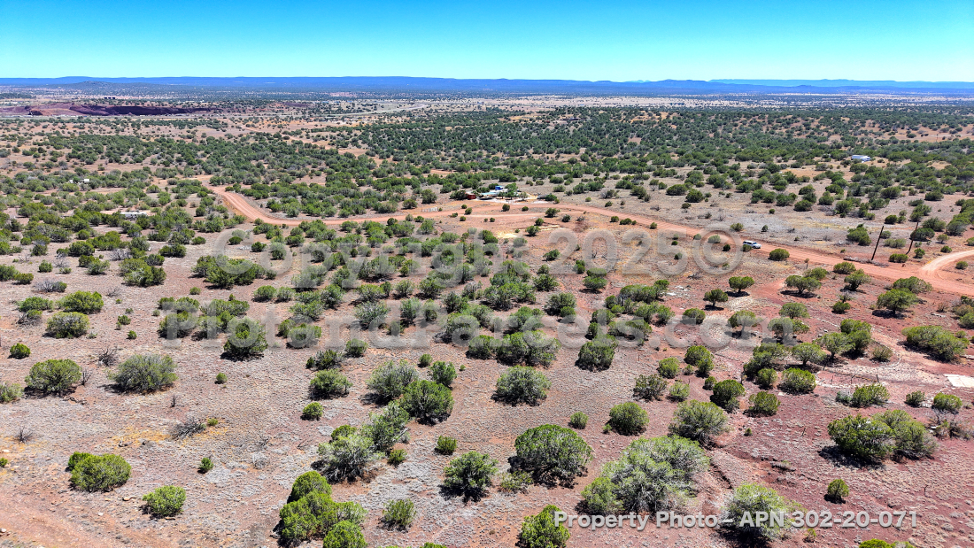
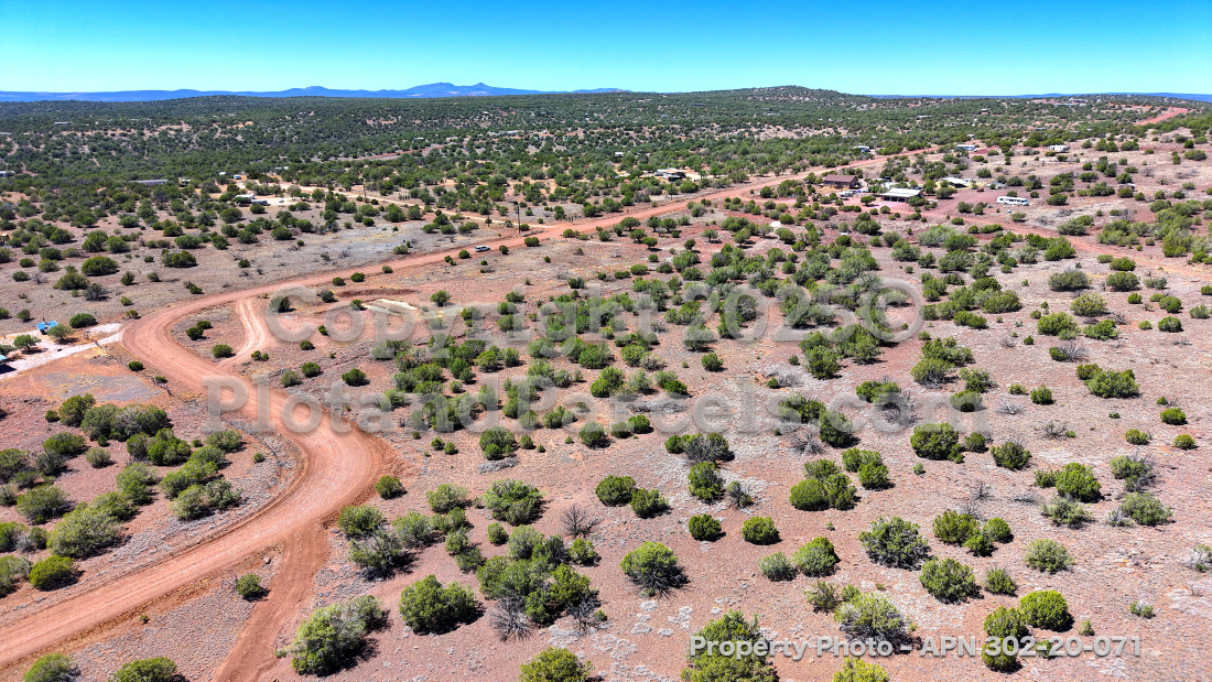
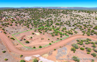
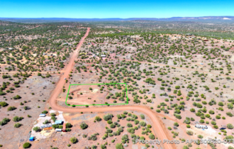
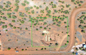
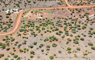
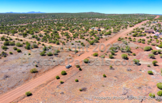
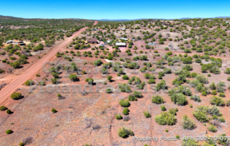
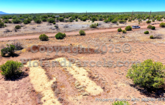
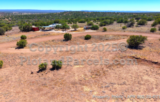
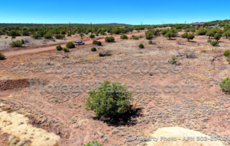
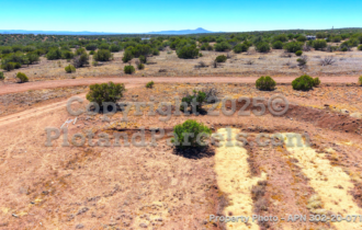
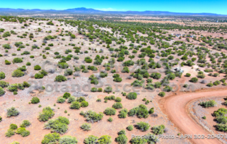
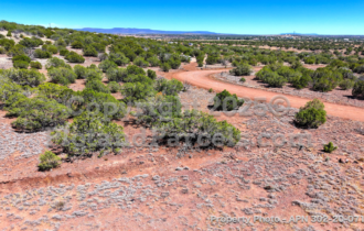
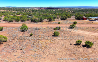
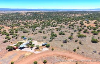
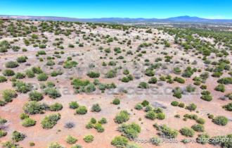
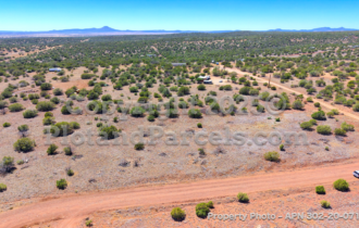
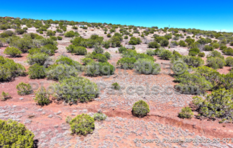
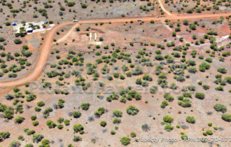
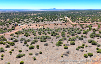
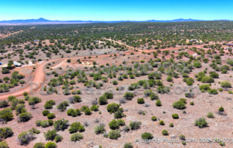
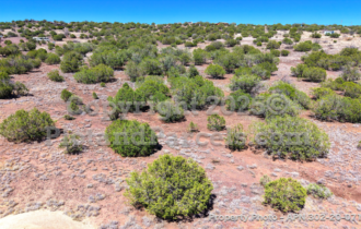
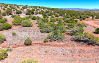
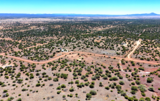
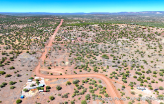
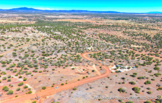
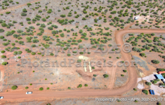
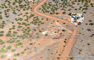
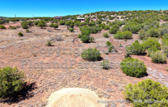
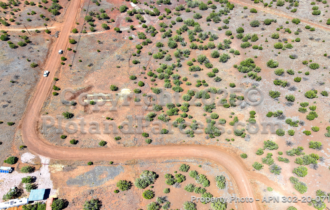
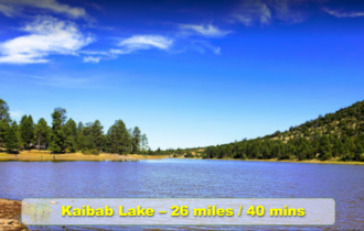
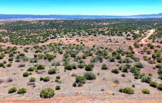
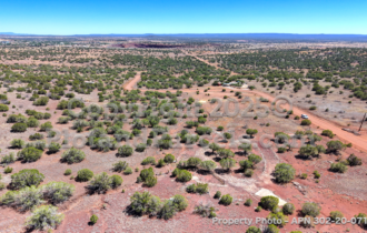
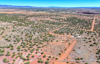
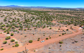
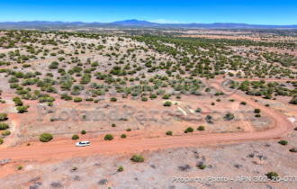
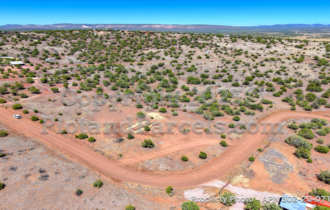
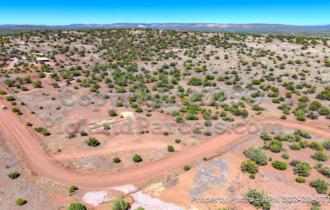
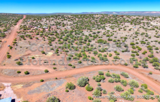
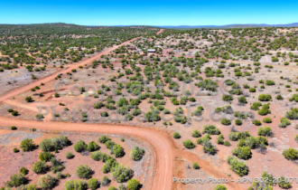
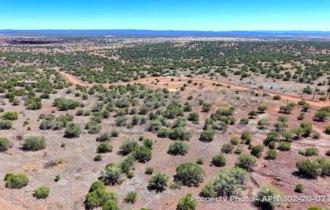
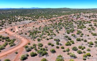
Escape to your own tranquil 1.2 acres in the Kaibab Estates high country, where mature junipers dot the land and long mountain and mesa views stretch to the horizon. At 5,240 feet, the air runs cooler and the desert heat stays behind — a refreshing retreat from the Arizona valley.
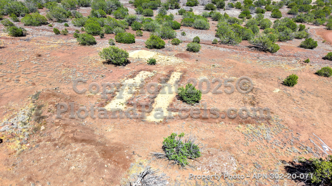
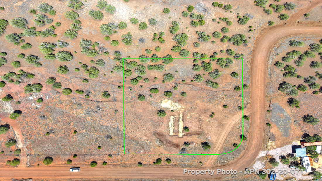
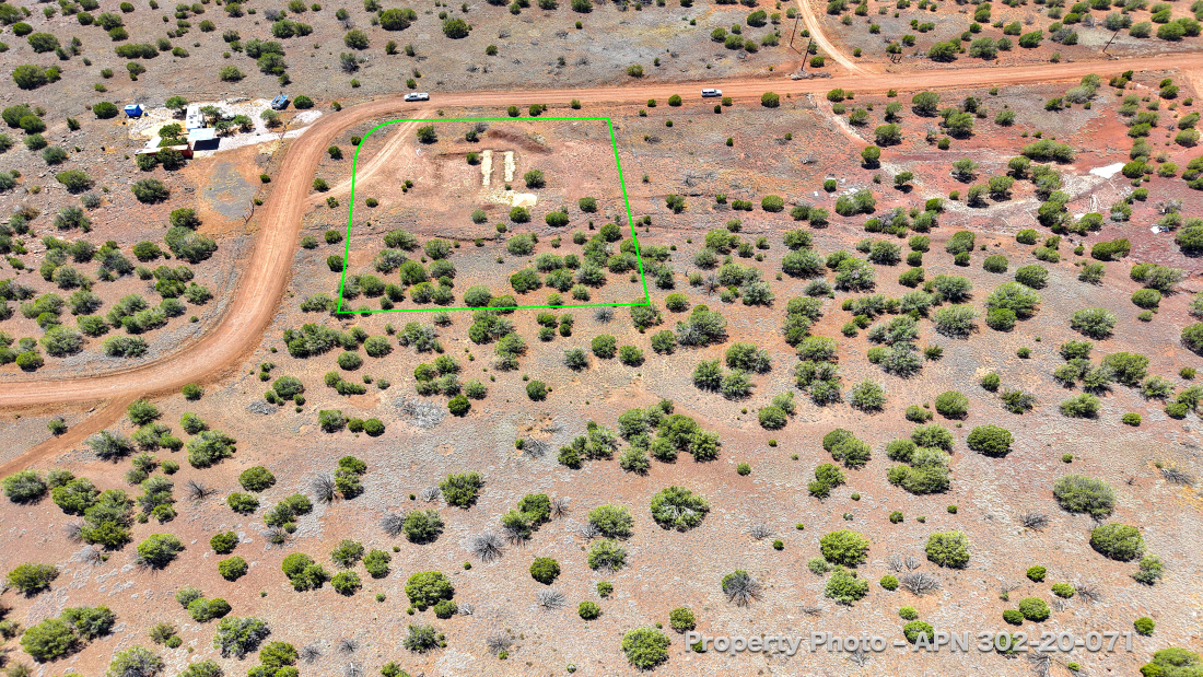
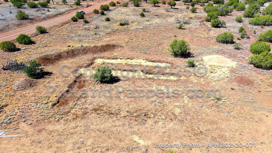
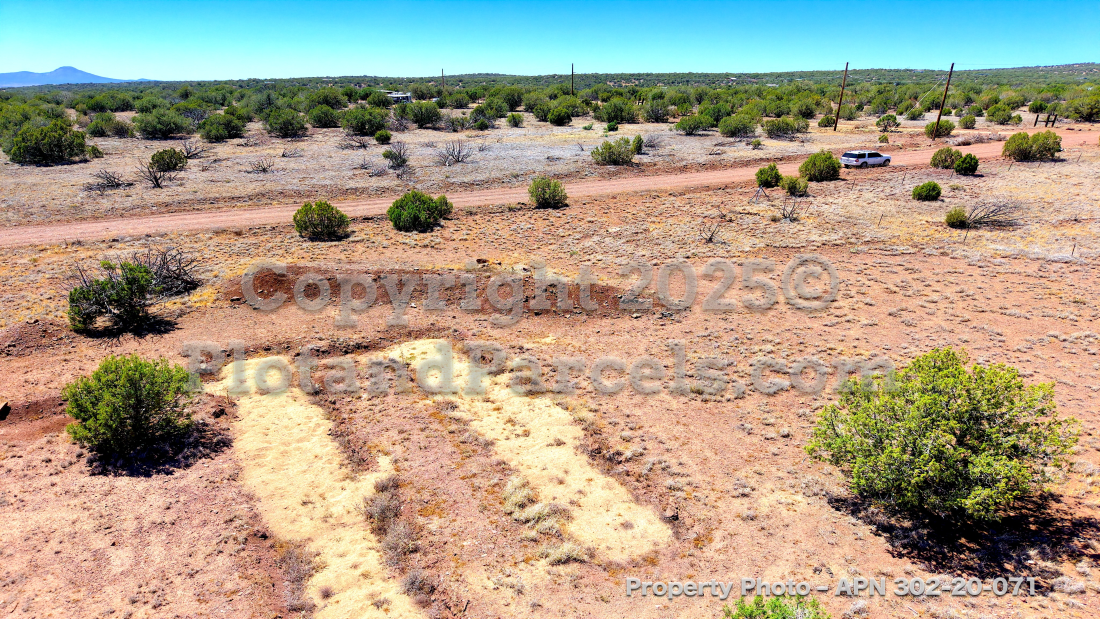
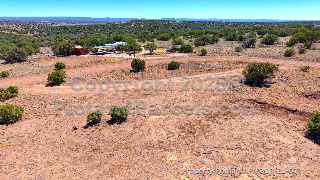
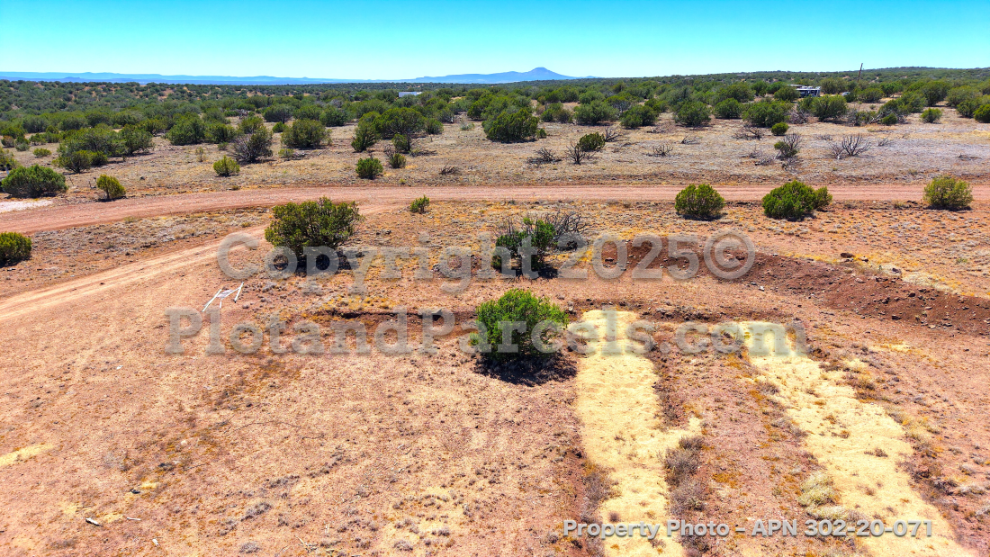
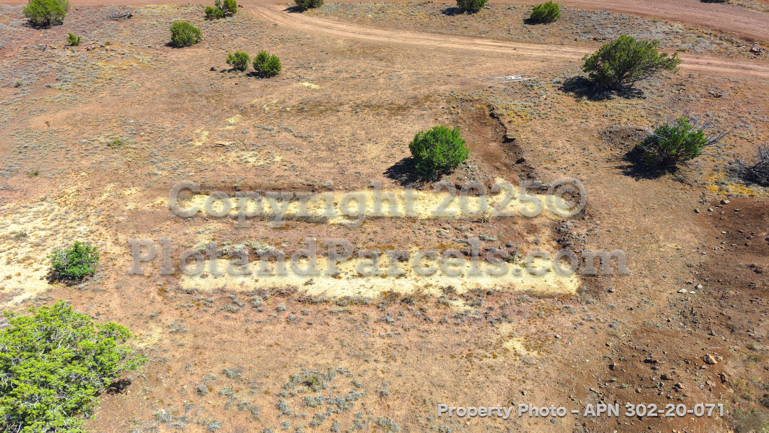
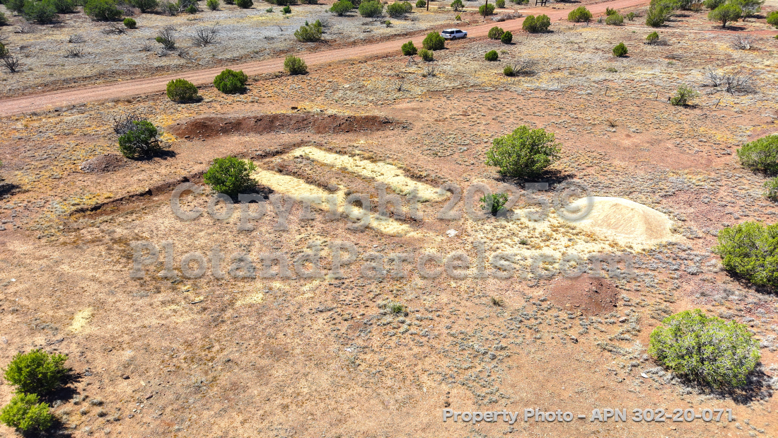
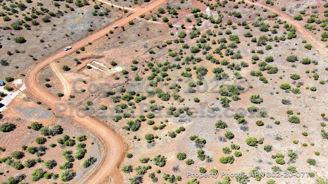
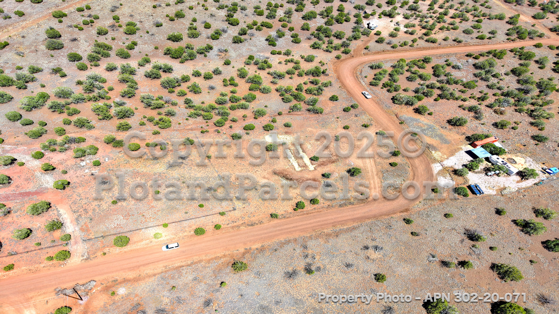
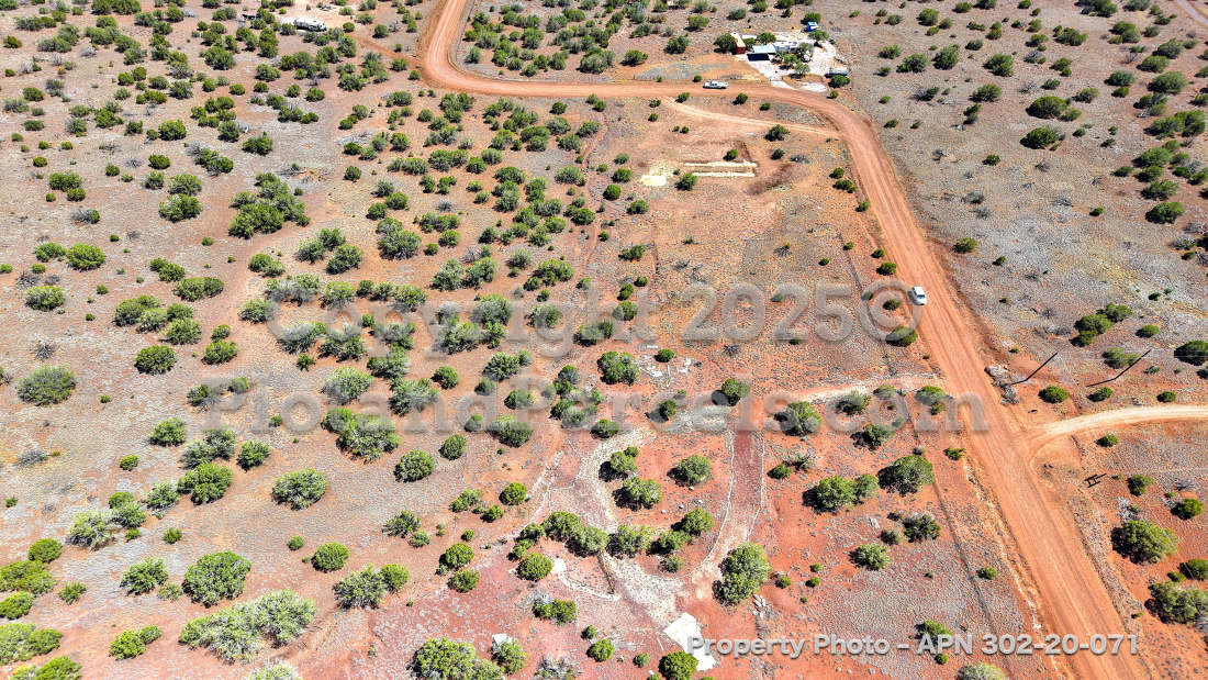
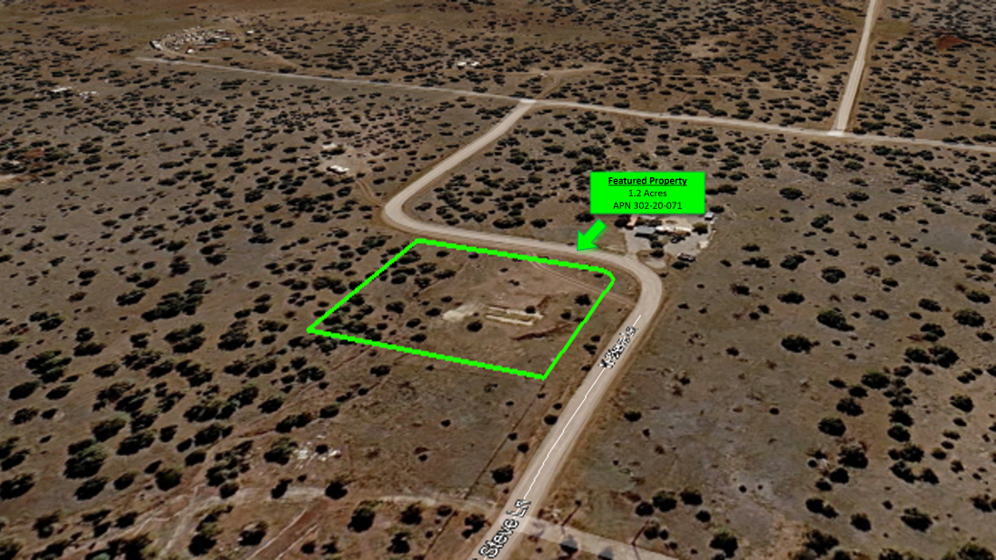
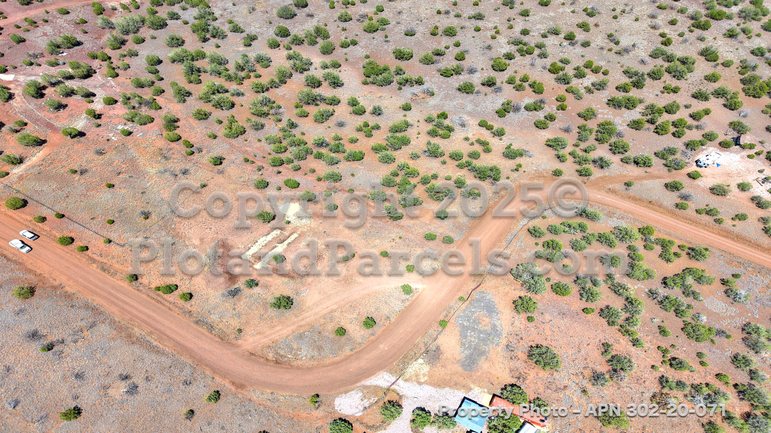
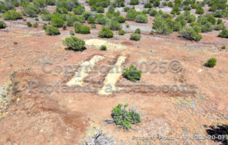
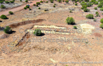
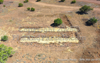
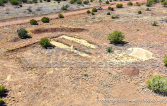
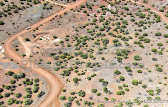
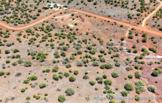
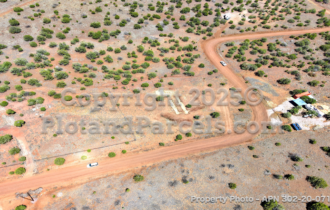
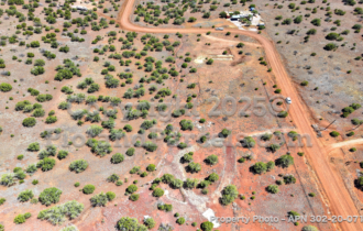
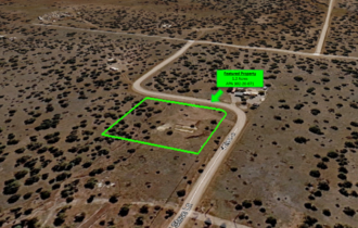
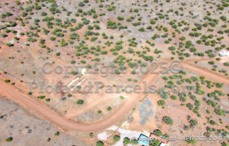
You’re not starting from zero. This gentle-sloping corner lot already has sand footings and a sand pile in place — previously set as a foundation base for a mobile home and included free with the lot — plus a rough driveway already cut into the parcel. That’s real groundwork done before you break ground.
Zoned RCU-2A for a single-family home, with room for a manufactured or site-built tiny home too, and short-term vacation rentals permitted with the right dwelling and inspection. A clean canvas with a jump start.
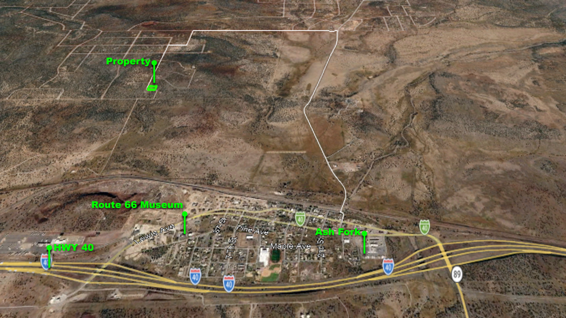
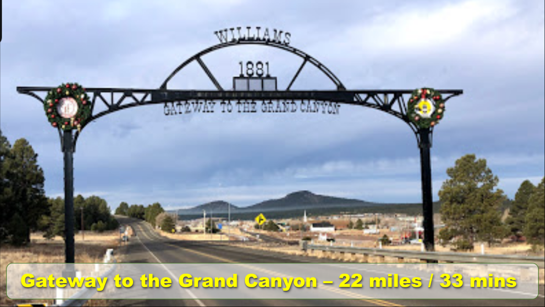
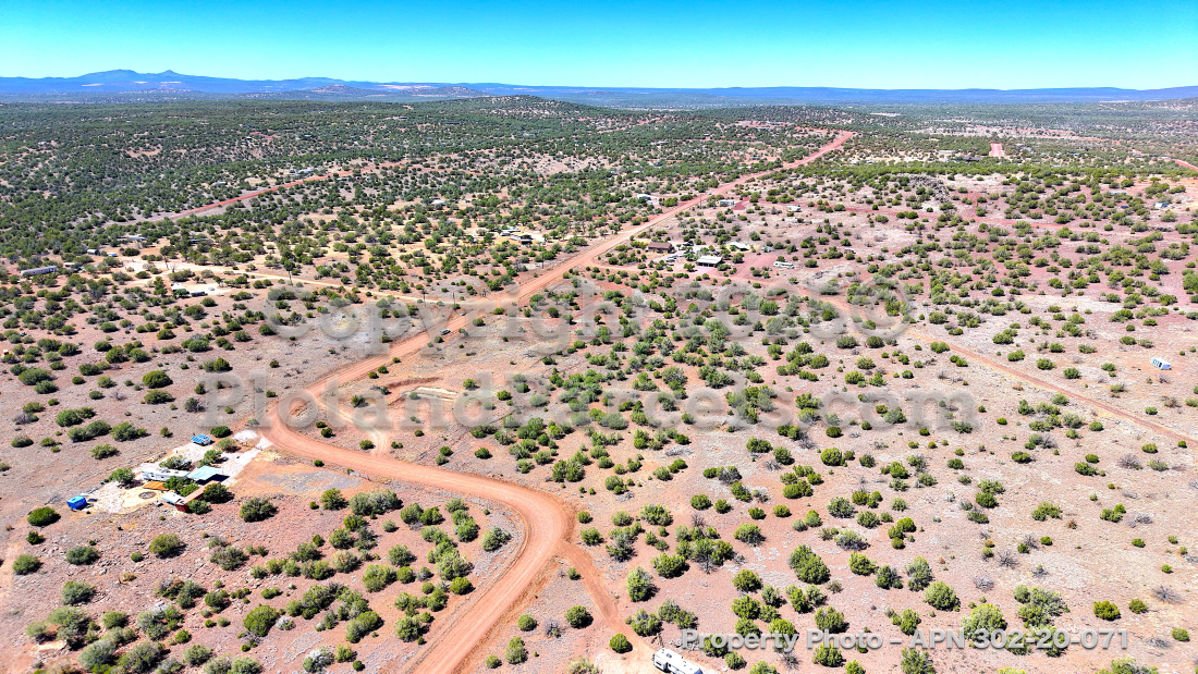
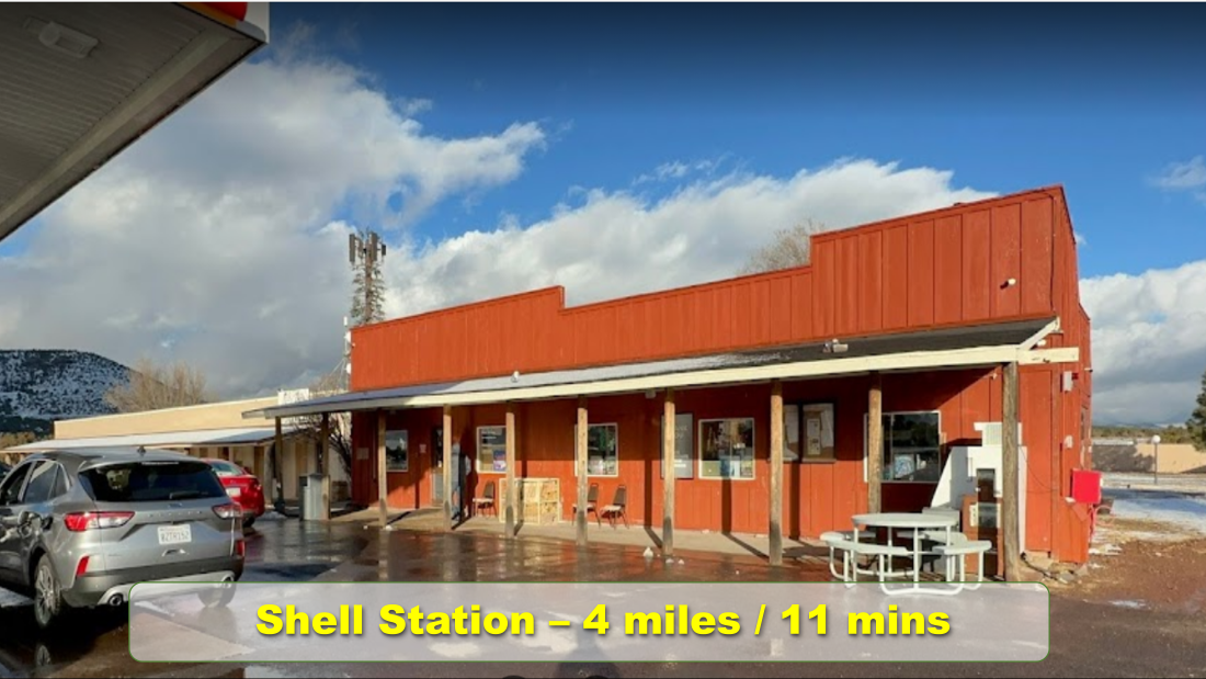
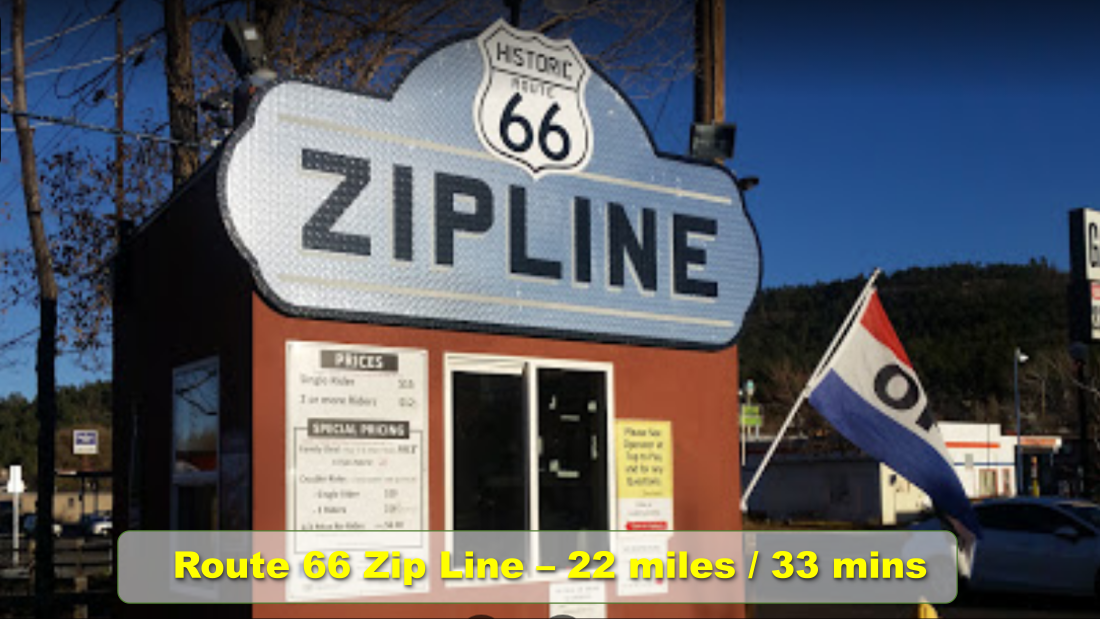
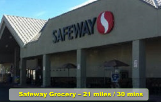
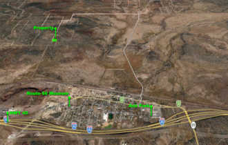
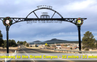
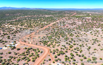
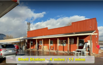
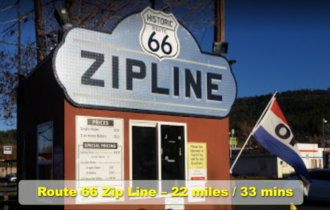
Secluded but not stranded: county-maintained access, 12 minutes to Ash Fork, 30 to Williams, about an hour to Prescott, and I-40 close by. Stock up on supplies, cruise Route 66, or visit Bearizona — then come home to quiet under the junipers.
The numbers are clean: taxes just ~$77/year, current through 2025, no back taxes and no liens. Well and septic would be required; power is available via APS line extension or go alternative/off-grid with propane.
Cool pines, clear skies, footings already set, and buildable freedom — land like this doesn’t sit long. Make it your slice of heaven.
DISCLAIMER: We hire an outside service to verify the property information that is displayed here. We do review this information, and to the best of our knowledge it is true and accurate, but we cannot guarantee that it is. It is ultimately the responsibility of the buyer to verify anything that is shared here that is material to their purchasing decision.
PROPERTY INFORMATION:
PARCEL ID: 302-20-071, Yavapai County, AZ
ZONING: RCU-2A – One Single Family Dwelling. See zoning ordinance for details.
ACREAGE: 1.2
LOCATION:
COUNTRY: United States
PHYSICAL ADDRESS: 48135 N Steve Ln, Ash Fork, AZ, 86320
GPS: ,
NEIGHBORHOOD: Kaibab Estates West
SUBDIVISION: Kaibab Estates West
OTHER DETAILS:
ANNUAL TAXES: $76.78
PROPERTY ACCESS? Yes, County maintained dirt road
ELEVATION: 5240 feet
HAS HOME/STRUCTURE? No
RV LIVING? RV camping is allowed in RCU-2A zoning 2-acre minimum lots 10 days at a time, 3 times a year, 30 days in between each stay.
TINY HOMES? Per County, there is no minimum size requirement.
MINIMUM SQFT FOR HOME? Per County, no minimum requirement
MOBILE HOMES? Must meet code and placement requirements, have access to utilities, etc.
FLOOD PLAIN? Not in a flood plain
TERRAIN? Brush, Gentle Slope
BUILDABLE LOT? Yes, this lot is buildable
TIME TO BUILD RESTRICTIONS? Per County there is no time limit – Just have to pass the inspections every 6 months.
HOA? None
UTILITIES AND SERVICES:
POWER? Power Poles nearby. Contact Arizona Public Service Company (602) 371-7171 or use alternative power.
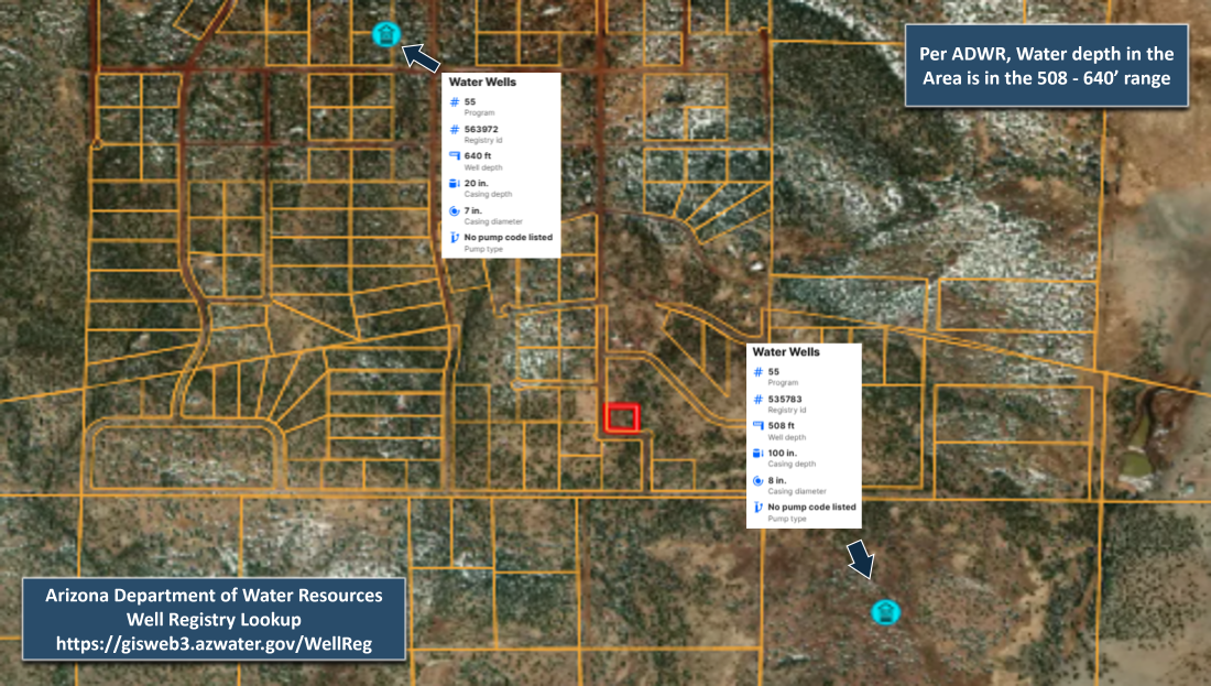
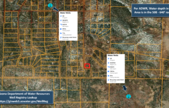
WATER? Would require a well or Delivery/Cachment
GAS? Would require propane, contact Suburban Propane (928) 636-1313
SEWER? Sewer service is not available.
CABLE? Cable Service available via Satellite
SEPTIC? Septic can be installed
PHONE? Mobile service is available. No landline service
POWER COMPANY: Arizona Public Service Company (602) 371-7171
WATER SERVICE: Not Available
GAS SERVICE: Suburban Propane (928) 636-1313
SEWER SERVICE: Not available
WASTE DISPOSAL: United Disposal (928) 636-5203, Paulden Transfer Station (928) 925-3249
PHONE SERVICE: Mobile service is available. No landline service
Can I live in my RV?
This is a common question for many looking to purchase land throughout the state of Arizona. The answer is complicated and can be best answered [more…]
Driving Directions
From Ash Fork, Arizona
Head toward N Third St – 0.2 mi
Turn left onto First St – 194 ft
Continue onto Double A Ranch Rd – 1.1 mi
Continue onto N Double A Rnch Rd – 0.8 mi
Turn left onto Cumberland Rd – 1.0 mi
Turn left onto Francis Cir/Francis Ln/N Hals Wy – 0.2 mi
Turn right onto W Pearl Ln – 0.1 mi
Turn left onto Steve Ln
Destination will be on the left – 0.6 mi
48135 N Steve Ln, Ash Fork, AZ 86320
Did you know that you can click this link and open the map below on your phone or other device and then follow this map directly to the property?
Buying Process
When purchasing land from us, you have several choices; pay in full for immediate title transfer and ownership, or pay over time (seller financing) receiving title after all payments are made… [Learn More]
Nearby Attractions/City
Sedona, Arizona

As the story of this community’s early history goes, T.C. and Sedona Schnebly were attracted to Upper Oak Creek or Camp Garden both names were being used at that time. Strangely, these names were totally appropriate because during the past 100 years, numerous families and individuals have been drawn here by the raving descriptions of friends and relatives. In the case of T.C. and Sedona, it was T.C’s brother, Dorsey Ellsworth Schnebly, who discovered Red Rock Country while seeking an ideal climate and atmosphere for his health. According to the recorded testimony of Ellsworth Schnebly, son of T.C. and Sedona, his uncle was inspired by the discovery of towering red rocks interfused with forested greenery, as well as vast acreage surrounded by meandering, clear Oak Creek.
Various reports indicate that T.C. suggested calling the post office Schnebly Station, then Red Rock Crossing and even Oak Creek Station and most of these reports state that the names were not accepted by the government because they were too long to fit on a cancellation stamp. Subsequently, T.C’s brother, Dorsey Ellsworth, thought of submitting the name of T.C’s wife, Sedona. And after telling T.C. that in the person there was a character that would stand well as a symbol for the community, he turned to Sedona and said, You’re going to have a town named after you.
Montezuma Castle

On December 8, 1906, President Theodore Roosevelt celebrated the passage of the Antiquities Act by declaring four sites of historic and cultural significance as our nation’s first National Monuments. Among these was Montezuma Castle, which the President identified as a place “of the greatest ethnological value and scientific interest.” Although very few original artifacts remained in the structure due to intensive looting of the site, Roosevelt’s decision assured the continued protection of one of the best preserved prehistoric cliff dwellings in North America.
Montezuma Castle National Monument quickly became a destination for America’s first car-bound tourists. In 1933, “Castle A”, a 45-50 room, pueblo ruin was excavated, uncovering a wealth of artifacts and greatly enhanced our understanding of the Sinagua people who inhabited this riparian “oasis” along Beaver Creek for over 400 years.
Now, approximately 350,000 people a year gaze through the the windows of the past during a visit to Montezuma Castle. Even 600 years after their departure, the legacy of the Sinagua people continues to inspire the imaginations of this and future generations.
Flagstaff, Arizona

Soon after Arizona became American territory from Mexico in 1848, the U.S. Congress began to explore the Nation’s new territories, Between 1857 and 1860, Lt. Edward Beale was sent to build a road across northern Arizona. He sent glowing reports to Congress, telling them how the Flagstaff area was rich in grasslands, water and timber. Once the Beale Road was established it became well traveled by emigrants going to California. On July 4, 1876, a group of travelers camped at a small spring with the peaks looming overhead. In honor of the nation’s centennial, they stripped a pine tree of its branches and bark and raised an American flag. When they moved on, their “flag staff” became a landmark for all of those who followed.
Located in the high country mountains of northern Arizona, Flagstaff’s four seasons are enviable by many. Winter adventures await in Arizona’s officially designated Winter Wonderland with an average 108″ of snow fall in downtown, while Spring offers breathtaking beauty of blooms in the world’s largest contiguous emerald green ponderosa pine forest.
Summer temperatures average in the low 80s with sapphire blue skies and crisp mountain air, while the bounty continues into Fall with a panoramic canvas of quaking aspen and foliage offering hues of reds and purples.
Bearizona

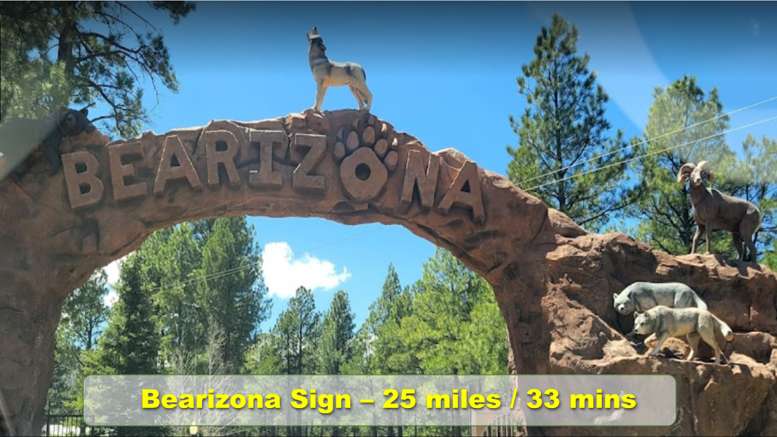
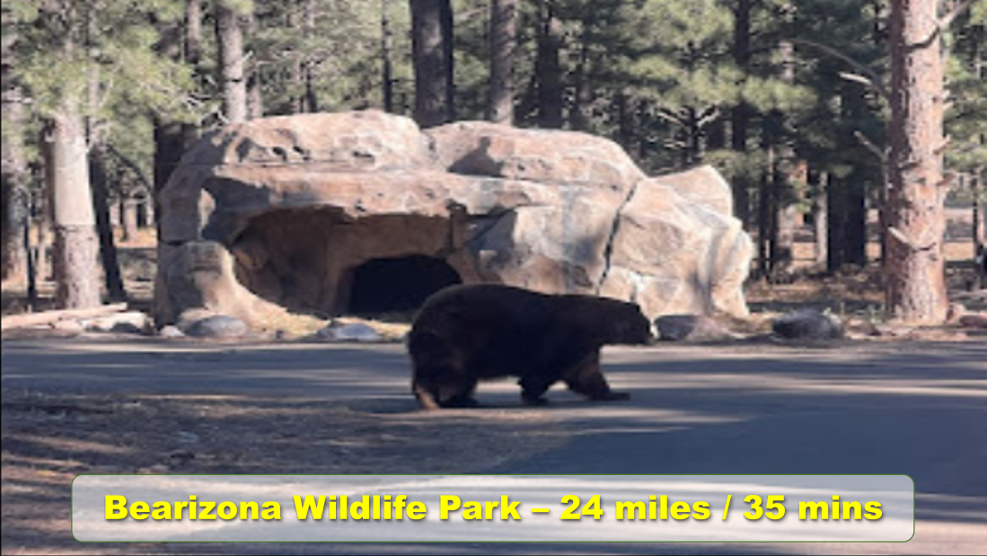
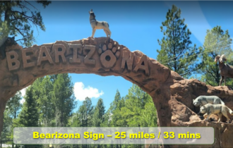
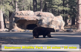
Bearizona is a drive through Wildlife Park nestled amongst the pristine Ponderosa Pine forests of Northern Arizona. Bearizona offers visitors to Northern Arizona a new and exciting way to enjoy wildlife the way it was meant to be, in a natural environment. Bearizona Wildlife Park is the only park of its kind in the southwest. Bearizona is located at the gateway to the Grand Canyon in historic Williams, Arizona, just one hour from Grand Canyon’s south rim, three hours southeast of Las Vegas, and two and a half hours northwest of Phoenix. Bearizona is located off of Interstate 40, at exit 165 and is a convenient stop for visitors wanting to experience the Grand Canyon and the beauty of Northern Arizona..
Bearizona invites guests to drive into the Arizona Wilderness and witness herd and pack life from the comfort and safety of their own private vehicle or motor coach. The drive through portion of the park is approximately three-miles long and allows visitors to see larger North American mammals up-close. Enjoy the wide variety of animals ranging from rugged rocky mountain goats, and majestic bison to stealthy Alaskan tundra and Arctic wolves and comical black bears. Guests can also enjoy the parks complimentary Wild Ride Bus Tour, which offers a window-free way to view the animals. Bearizona staff drive and guide during this tour educating passengers on Bearizona facts as well as fun and interesting information about the animals that call Bearizona home.
Ash Fork, Arizona

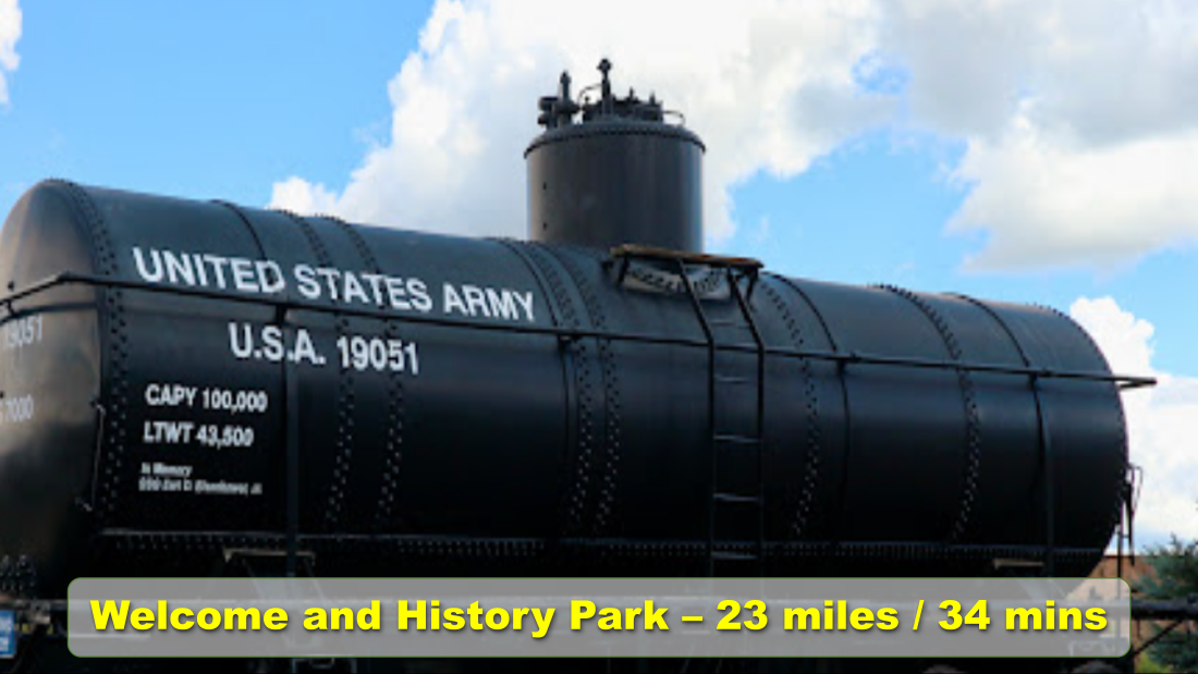
The town of Ash Fork began when the Atlantic and Pacific Railroad, later known as the Santa Fe Railroad, pushed through in October 1882. However, long before the railroad arrived, the area had been roamed by Native Americans, as evidenced by numerous pottery shards and arrowheads found in the area, as well as pictorial writings on rock. In their search for the elusive Seven Cities of Cibola, the Spanish came near the area in the late 1500s. Though this terrain had been crossed since the early 1800s by fur trappers and traders on their way from Santa Fe to Los Angeles, the trails were in poor condition, and the region was known to be wild, unexplored, and dangerous. From 1857 to 1860, Lieutenant Edward F. Beale, a crew of 100 men, and 22 camels built the first federal highway in the southwest — the Beale Wagon Road. Later highways, including Route 66, would be paved across portions of this historic trail.
Beyond Ash Fork, the longest stretch of unbroken Route 66 highway begins at Crookston Road. This historic pavement is approximately 92 miles long, meandering parallel to the Santa Fe Railroad bed. This old alignment provides numerous peeks of
About Us
Plot and Parcels is a privately owned land investment firm with a strong reputation in the real estate investment community for our ability to find great investment opportunities. Honesty and integrity are the cornerstones that we’ve built our business on. We work hard to get the best possible price on vacant rural land, and offer it for sale at a steep discount. There’s no obligation to get in touch with us and see what we’re all about or to view our available land for sale.